-
About Union
Geographical & Economic
Miscellaneous
-
Union Parishad
Union Council
Activities of Union Council
Village Adalat
-
Govt. Office
Agriculture
Land
Health Services
Social Service
-
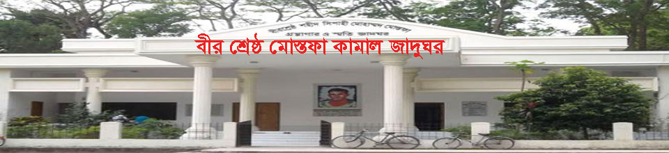
Other Institutions
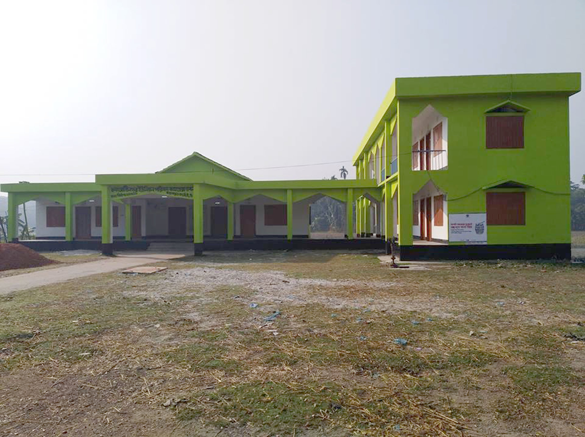
Educational Institutions
Religious Organizations
Organizations
-
Different Lists
List of Beneficiaries
Other listings
- Projects
-
Services
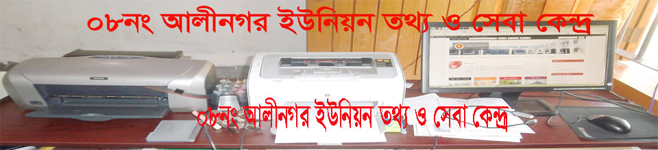
UDC
National E-Service
-
Gallery
--------
-
About Union
Geographical & Economic
Miscellaneous
-
Union Parishad
Union Council
Activities of Union Council
Village Adalat
-
Govt. Office
Agriculture
Land
Health Services
Social Service
-
Other Institutions
Educational Institutions
Religious Organizations
Organizations
-
Different Lists
List of Beneficiaries
Other listings
- Projects
-
Services
UDC
National E-Service
-
Gallery
--------
Bangladesh Location: Bangladesh is an independent sovereign state. It is located in South Asia, on the south of Asia's continent. Its position is 20 ° 34 "north to 26 ° 38" north latitudes and 88 ° 1 "east 92 ° 41" in eastern dharmagram. The center of the middle of the middle of the cortisone
Size: Size of Bangladesh 147570 sq km or 56977 sq mi The territory of Bangladesh's territorial or political seashore is 12 nautical miles, meaning moral zone 200 nautical miles or 370.8 kilometers, and the end of maritime propaganda seaport.
In order to establish the watershed of the Bay of Bengal, and to establish right over sea resources, Bangladesh filed a lawsuit against Myanmar on the Salt Law Tribunal in Hamburg, Germany and the Salish Tribunal, located in The Hague, Netherlands, against India on 14 December 2009. Through the various procedures, on March 14, 2012, Bangladesh - International court in Myanmar case gives a historic verdict on the fair demand of Bangladesh. Through this verdict, the island of St Martin Island receives 12 nautical miles under the coastal basiline and oceanic zones of 200 nautical miles. As a result, the bottom of the sea up to 350 nautical miles is in the continent of Bangladesh.
Limit: Assam, Tripura, Mizoram, and Myanmar of India, West Bengal, Assam and Meghalaya in the north of Bangladesh. Bengalposagar in the south and West Bengal of India on the west. The total border of Bangladesh is 4711 km [sources: secondary geography] and 5138 square km: [Source: Border Guard Bangladesh]. Of these, the land limit is 3995 sq km: [source: secondary geography] or 4427 sq km: [Source: Border Guard Bangladesh]. Border length with India 3715 km [source: secondary geography] and 4156 km: [Source: Border Guard Bangladesh]. And Myanmar's border length is 280 km [source: secondary geography] and 271 km: [source: Border Guard Bangladesh]. Length of coastline of Bangladesh 716 sq km: [Source: Medium A geography] and 711 square km: [Source: Border Guard in Bangladeshi]. Hariwanganadi Bangladesh on the south-west of Bangladesh - India and South-East Naf river indicate the border of Myanmar - Bangladesh.
Geography of Bangladesh
Bangladesh is one of the largest delta of the world. Most of the entire area of Bangladesh is a vast plain. There is a large amount of highlands. On the basis of nature, Bangladesh can be divided into three categories mainly.
1) Mountains of the Tertiary era
2) Pleistocene terraces
3) Recent floodplain plains
1. Tertiary era mountains include the mountains of southeast, north, north-eastern region of Bangladesh. These hills were formed during the Tertiary era when the Himalayas were raised. These are known as the tertiary mountains. The hills belong to the Lusai of Assam and the Arakan Mountains of Myanmar. Made of sandstone, shell and clay. The mountains are divided into two parts. Namely
A) South-East Hills
B) North-eastern hills
A) South-eastern hills: Rangamati, Bandarban, Khagrachari, Cox's Bazar, the eastern part of the district of Chittagong district are included in this region. The average height of these mountains in the southeast is 610 meters. The highest mountain of Bangladesh is Tazindong (Victory) of Bandarban and 1231 meters in height. Kikatkradong is 1230 meters.
B) Hills of North and North-East: The northern parts of Mymensingh and Netrakona district, north and north-eastern parts of Sylhet district and the height of the hills of Moulvibazar and Habiganj districts are 244 meters high. The northern mountains are known locally as Tila. Their height is 30 to 90 meters.
2. Pleistocene straddles: estimated 25,000 years before plastoconoclonal period. The north-west part of the Barind Tract, Madhupur and Bhawal in the middle and the Lalmai hills or the highlands of Comilla district are included in the region. These highlands are described below:
Barind Tract: The Barind Tract covers an area of approximately 9320 square kilometers in the north-western part of the country. The height of the floodplain is 6 to 12 meters in height. Soil is gray and red.
The average of Madhupur and Bhawal: In the Tangail and Mymensingh districts, the average of Madhupur and Bhawal is in Gazipur district. Rectangle is about 4103 sq km. 30 meters high from the plain. The soil is reddish and gray.
Lalmai Hills: The hill ranges from Lalmai to Mainamati upto 8 km west of Comilla city. Its area is approximately 34 square kilometers and the average height is 21 meters.
3. The recent plains plain: Without the hills of the Tertiary era and plastosynchronous stairs, the entire Bangladesh River is a vast plain of rivers. The area of the floodplain is about 1,24,267 square kilometers.
Major rivers of Bangladesh
There are about 700 rivers in Bangladesh. Total length of the river is 22,155 square kilometers.
Padma: the name of the river Padma is Kirtinasha. This river originates from the Gangetri glacier of the Himalayas. Chapainawabganj entered Bangladesh through Bangladesh. Together with the Padma of Goyalanda in Rajbari, the Padma got together with the Meghna and took the name of the Meghna and fell into the Bangaposagar. Ganges in Bangladesh - Padma widow area 34,188 sq km Shakhdani Kumar, Mathabhanga, Bhairab, Garai, Madhumati, Arial Khan etc. The sub-district is Punarbhaba, Nagar, Pagla, Koolik and Tongan, Mahananda etc.
Brahmaputra: The river originated from Manas Sarobar near the Himalayas, near Kailas, on the east by Tibet and then on the west side through Assam. Then Bangladesh through Brahmaputra Kurigram district


Planning and Implementation: Cabinet Division, A2I, BCC, DoICT and BASIS
Technical Assistance:
![]()
Developed By: